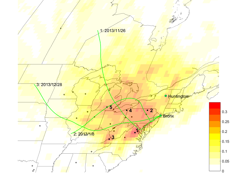
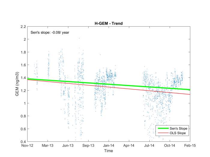
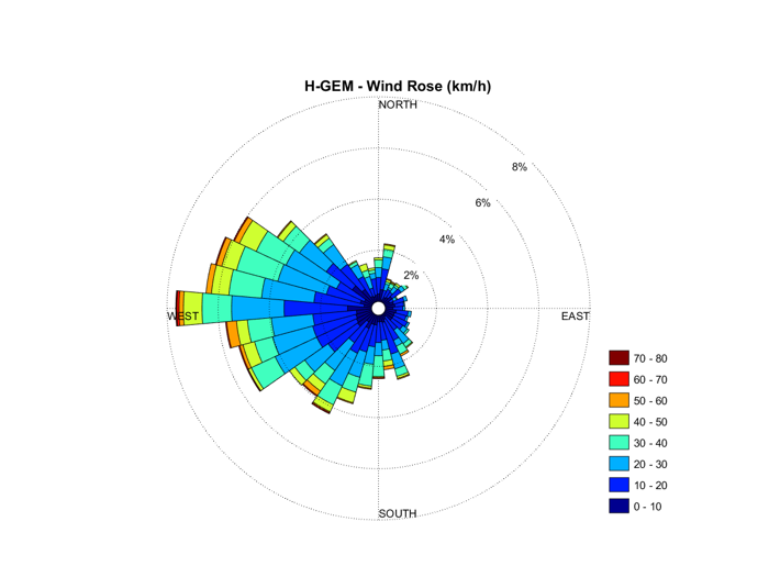
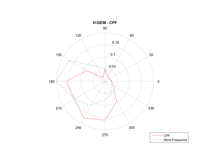
The TraPSA (Trajectory-based Potential Source Apportionment) project was developed as a free, open-source toolkit for air pollution potential source locations apportionment analysis based on trajectory ensemble receptor models. TraPSA software is a powerful, graphical tool to help the air quality community use large monitoring and trajectory data for pollutant potential source location apportionment. TraPSA provides monitoring site database management, smart trajectory generation and handling, pollutant temporal pattern analysis, most of existing trajectory ensemble receptor models, and sufficient GIS editing functions.
TraPSA uses HYSPLIT, a state-of-art trajectory model, developed by NOAA, but it also functions well without the HYSPLIT software suite on the local computer because an unregistered version of the HYSPLIT_4 trajectory model executable are included in TraPSA. However, it is strongly recommended that users register and install the most current version of HYSPLIT software in order to generate the most accurate trajectories. TraPSA was developed at the Center for Air Resource Engineering & Science (CARES) at Clarkson University.
TraPSA provides:
1. User-friendly, open-source research and study platform
2. Monitoring site database management
3. Smart trajectory generation and handling processes
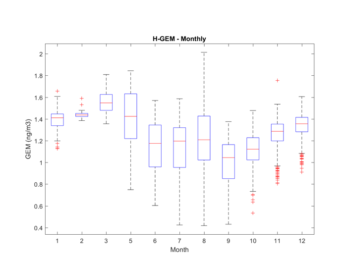
4. Pollutant temporal pattern analysis
5. Most existing trajectory ensemble receptor models
6. Sufficient GIS function and compatibility with other GIS software
7. Related MATLAB package for advanced users
- Interface
- Source
- Trend
- Wind Rose
- CPF
- Monthly
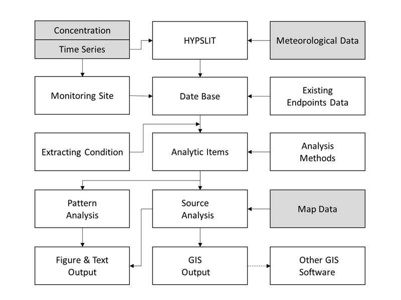
- Structure

